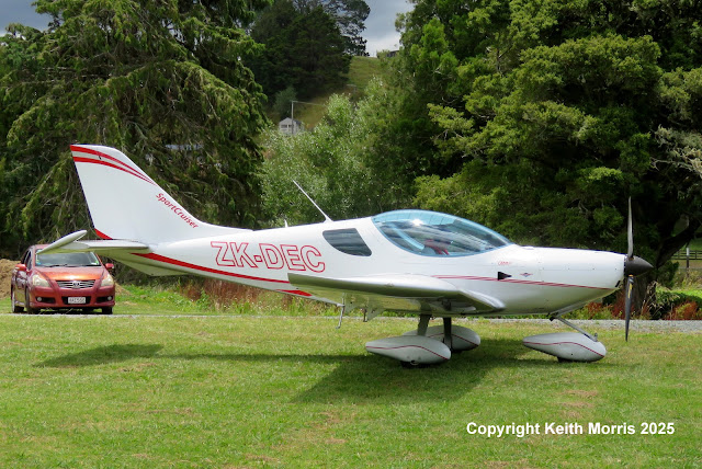
There were a couple of strangers from the South Island at Kaipara Flats yesterday:
Christchurch Helicopters Ltd's Eurocopter EC 120B ZK-HPM5 has been based at NZKF for a few days carrying out LIDAR surveying in the area for Auckland Council. LIDAR stands for Light Detection And Ranging and uses lasers for measuring the earth's surface. The helicopter flies a grid pattern at a fixed height above the ground capturing the data. You can see part of the LIDAR equipment beneath the helicopter's fuselage I understand the equipment is as expensive as the helicopter!
Arriving for re-fuelling.
VADIS Geomatics is a subsidiary of Christchurch Helicopters.


No comments:
Post a Comment